
Google Earth Engine can now help write its own geospatial scripts. The useful part is the editor context and visible diff; the part that still belongs to the analyst is deciding whether the result means what the map appears to show.
Google launched Ask in Earth Engine on September 28. It places a Gemini-powered assistant in the Earth Engine Code Editor to write, explain, troubleshoot, and optimize JavaScript. Google says Ask is available globally and uses a Gemini API key supplied by the user. A paid-tier key may incur usage charges. The launch post also says the assistant can use the active script, imported assets and geometries, and the current chat session as context.
What Ask can see and do
The panel sits inside the Code Editor rather than in a separate general-purpose chat. That matters when a script refers to an imported boundary or an existing collection: the assistant can respond to the work in progress without the analyst pasting the whole project into a prompt. Google offers Gemini 3 Flash Preview, Gemini 3.1 Pro Preview, and Gemini 3.5 Flash as launch choices.
- Generate: draft Earth Engine JavaScript from a natural-language task.
- Explain: walk through an inherited or unfamiliar script.
- Troubleshoot: send a console error to Ask through a button in the editor.
- Optimize: suggest changes when a computation is slow or exceeds limits.
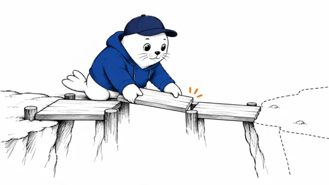
Suggested code can be inserted or copied. When an existing script is changed, the editor displays a side-by-side diff before the analyst accepts it. That review step is more useful than an invisible rewrite, but it only reveals what changed in code; it cannot certify the scientific assumptions behind the change.
The search modes have a trade-off.
Ask can search Earth Engine documentation for functions or the Earth Engine Data Catalog for datasets. It can also ground a response with Google Search. Google says the Google Search option is mutually exclusive with documentation and dataset search. If a task depends on a precise dataset identifier, check the catalog and inspect its record rather than assuming a web-grounded answer used the same source.
| Question | Useful source mode | Human check |
|---|---|---|
| Which function or argument should I use? | Earth Engine documentation search | Open the function reference and confirm parameter behavior. |
| Which imagery collection fits this analysis? | Dataset Catalog search | Confirm bands, coverage, dates and update cadence. |
| What outside context changed recently? | Google Search grounding | Open the cited page and check relevance to the study area. |
A repeatable test before trusting an NDVI script
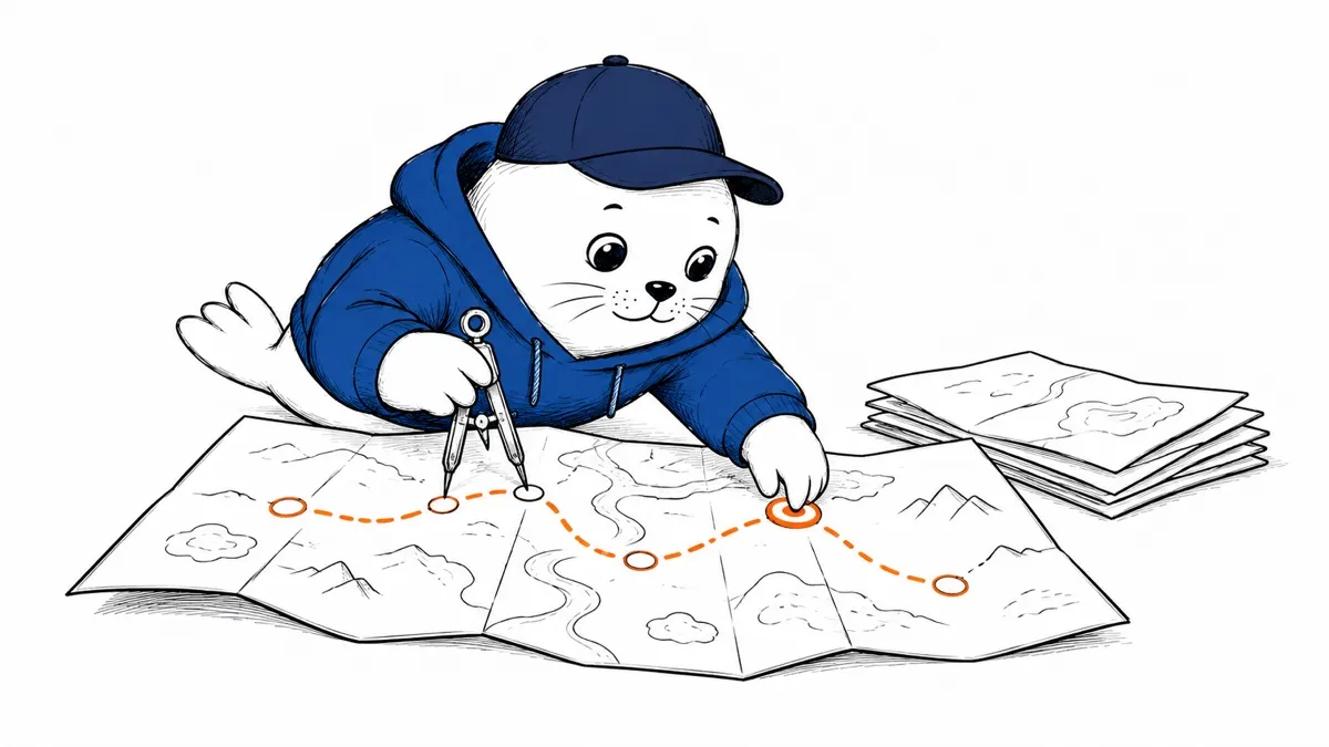
A practical first trial is a vegetation-index map for a small, known area. Request a Sentinel-2 collection, a specified date window, a cloud mask, and a median composite. Then review the diff and manually verify five things: the exact collection ID, band names, cloud-mask logic, spatial scale, and output dates. Run the script on a familiar location where a known seasonal pattern should appear.
Save the prompt, the accepted diff, and the dataset version with the result. If the map changes after a later edit, those records help distinguish a real landscape change from a changed filter or masking rule. A polished map is not a validation method.
Set up the key and cost boundary.
Google’s setup has two steps: create or choose a Gemini API key in Google AI Studio, then enter it through the key icon in the Ask panel. The launch post says free options exist and paid-tier API usage can be billed. Teams should decide who owns the key, how they monitor usage, and whether project material is appropriate to send to the model before enabling the panel. Our API-key permission guide covers the separate risk of giving agents the ability to manage keys themselves.
Ask can shorten the path from a question to a working script. It does not shorten the obligation to check the dataset, the methods, and the meaning of the output. That is the dividing line between coding assistance and geospatial analysis.
Sources
- Google Cloud: Introducing Ask in Google Earth Engine (September 28, 2026).
- Earth Engine Data Catalog.